
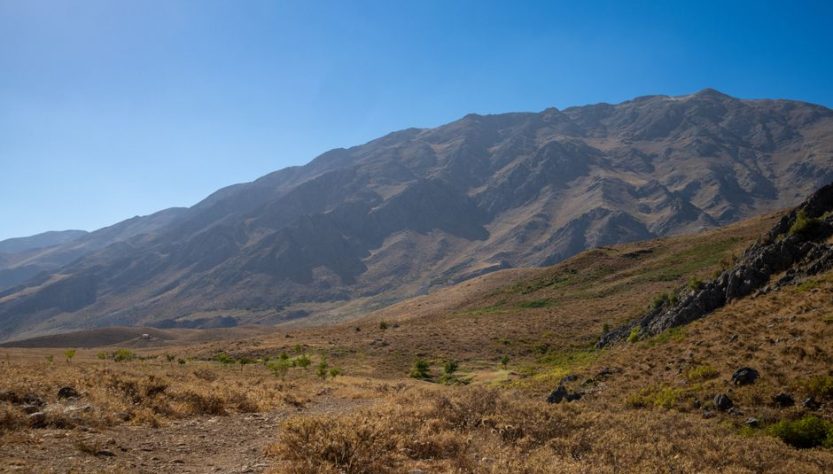
Queenstown gets 3.2 million visitors a year. Most of them pile onto the same three lookouts. This guide is about the other tracks — the ones where you hear gravel crunch under your boots instead of someone’s Bluetooth speaker.
The Problem With Most Queenstown Hiking Advice
Search “Queenstown hikes” and you’ll get the same list everywhere: Ben Lomond, Queenstown Hill, maybe the Routeburn if someone felt adventurous. Those tracks are good. They’re also packed by 9am in summer.
The real issue is timing and alternatives. Most guides don’t tell you when to go, what to skip, or which track suits a 3-hour window versus a full day. That’s the gap this guide fills.
What Actually Matters When Picking a Track
Three things: elevation gain, exposure, and start time. A 400m climb at noon in February feels twice as hard as the same climb at 7am. Sun exposure above the treeline in New Zealand is brutal — the UV index regularly hits 11 in summer. Start early or pick shaded valley tracks.
The Mistake Most First-Timers Make
They underestimate how long downhill takes. Queenstown tracks are steep. Coming down Ben Lomond takes almost as long as going up because your knees take a beating on loose schist. Budget 70% of your uphill time for the descent, not 50%.
Ben Lomond Track: When It’s Worth It and When It’s Not
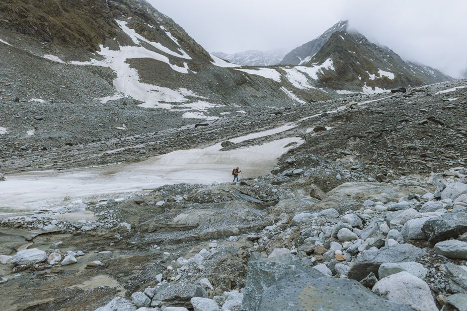
Ben Lomond is the postcard hike — 1,748m summit, full view of Lake Wakatipu and the Remarkables. It’s also a 6-8 hour commitment if you start from town. Here’s my honest take: do it once, do it early, or don’t do it at all.
The track starts at the top of the Skyline Gondola. You can pay $52 NZD for the gondola to skip the first hour of pine forest switchbacks. That hour saves you 400m of climbing. Worth it if you’re short on time. Not worth it if you’re on a budget and have decent fitness.
Track Specs
- Distance: 11km return from gondola top, 14km from town
- Elevation gain: 940m from gondola top, 1,340m from town
- Time: 5-7 hours return from gondola, 6-8 from town
- Difficulty: Hard. Exposed alpine section after the saddle.
When to Skip It
Skip Ben Lomond if there’s any cloud below 1,500m. You’ll climb for three hours to stand in fog. Check the MetService forecast the night before. If the summit is in cloud, do Lake Alta instead — it sits lower and still gives you alpine views.
A Quick Comparison of the Main Tracks
If you only have two days in Queenstown, this table tells you what to prioritise. I’ve hiked all of these at least twice.
| Track | Distance | Time | Difficulty | Crowd Level | Best For |
|---|---|---|---|---|---|
| Queenstown Hill | 5km return | 2-3 hours | Moderate | High | Sunrise, short window |
| Ben Lomond | 11-14km return | 5-8 hours | Hard | Medium | Full day, summit views |
| Lake Alta | 4km return | 2 hours | Moderate | Low | Alpine lake, half-day |
| Kelvin Peninsula | 7km loop | 2 hours | Easy | Low | Flat walk, lake views |
| Routeburn (day section) | 13km return | 4-5 hours | Moderate | Medium | Beech forest, swing bridges |
| Bob’s Cove | 3km return | 1 hour | Easy | Low | Swimming, lazy afternoon |
My pick for a first-time visitor with one day: Lake Alta. My pick for a hiker who wants a challenge: Ben Lomond via the gondola shortcut. My pick for a family: Kelvin Peninsula.
Lake Alta: The Alpine Lake Most Visitors Miss
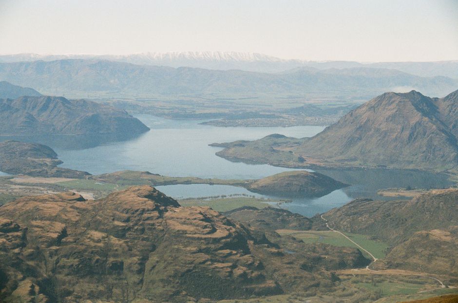
Lake Alta sits at 1,800m inside the Remarkables ski area. In summer, the ski field road is open and you can drive to the car park. The track climbs 250m over 2km to a glacial lake that freezes solid in winter. In January, it’s a deep blue bowl surrounded by scree slopes.
This is the best effort-to-reward ratio in Queenstown. Two hours total, minimal crowds, and you get the alpine experience without the Ben Lomond slog.
Access and Timing
The road up to the Remarkables ski field is unsealed and steep. A 2WD car handles it in summer, but take it slow. The car park is at 1,550m. From there, follow the orange poles. The track is marked but rocky — wear shoes with actual grip, not flat sneakers.
Go in the morning. The lake reflects the surrounding peaks best before 11am when the wind picks up.
Kelvin Peninsula Trail: The Flat Walk Nobody Recommends
Here’s a hot take: not every Queenstown hike needs to be a mountain climb. The Kelvin Peninsula Trail is a 7km loop along the lake edge with views of the Remarkables the entire way. It’s flat, shaded in parts, and you’ll share it with locals walking their dogs, not tour groups.
This is the track I recommend for arrival day. You’re tired from travel, you want fresh air, and you don’t want to commit to a 5-hour climb. The peninsula delivers.
Practical Details
Park at the Kelvin Heights golf course car park. Walk clockwise for the best lake views in the first half. There’s a small beach at the halfway point where you can swim in summer. Water temperature in January is around 18°C — cold but doable on a hot day.
Routeburn Track Day Section: Worth the Drive?
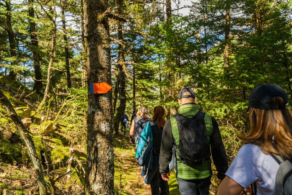
The Routeburn is one of New Zealand’s Great Walks. The full track takes 2-4 days and requires booking huts months in advance. But you can do a day section from the Glenorchy side without any booking.
Drive 45 minutes from Queenstown to the Routeburn Shelter. Hike to Routeburn Flats Hut and back — 13km return through beech forest, over swing bridges, past the Routeburn River. This is the best forest walk in the region.
What to Know Before You Go
The drive from Queenstown to Glenorchy is half the experience. It hugs Lake Wakatipu the whole way. Stop at Bennett’s Bluff lookout 15 minutes in. The road is sealed the entire way, so any car works.
Sandflies are aggressive at the Routeburn Shelter. Bring repellent with DEET. Apply it before you leave the car, not after you’re already getting bitten.
What to Pack: The Non-Negotiables
Queenstown weather changes fast. You can start in sunshine and hit wind-driven rain at 1,200m. Here’s what actually matters, based on too many underprepared hikes.
- Layers: A merino base layer and a windproof shell. The temperature drops 6°C per 1,000m of elevation. At Ben Lomond’s summit, it’s often 10°C colder than town.
- Water: 1 litre per 2 hours of hiking. There’s no reliable water on Ben Lomond or Queenstown Hill after you leave the car park.
- Sun protection: SPF50+ sunscreen, hat, sunglasses. The UV index in Queenstown summer regularly exceeds 10. You will burn in 15 minutes without protection.
- Footwear: Trail runners with grip are fine for every track in this guide except Ben Lomond in wet conditions. If it rained the night before, the schist on Ben Lomond gets slippery. Hiking boots help.
- Navigation: Download offline maps on Maps.me or AllTrails. Phone signal is patchy on the Routeburn and non-existent above the treeline on Ben Lomond.
Skip the hiking poles unless you have knee issues. Most Queenstown tracks are steep enough that poles help on the descent, but they’re a nuisance on narrow sections.
The One Rule That Matters
Start before 8am or after 4pm. Everything in between is when the tour buses arrive.